Cities: Skylines II Milford County Dec 2024 Tour
By EricMesa
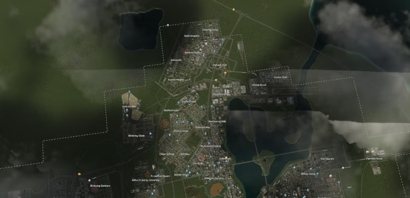
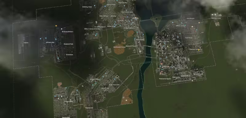
- 6 minutes read - 1261 wordsI’ve been working on Milford County for quite some time - nearly a year at this point. I was inspired by the way that City Planner Plays designs his “cities” in Cities: Skylines and Cities: Skylines II; he makes regions that eventually become a megalopolis rather than simply designing one city. While I did orignally start out trying to think of things in story terms as he does, I am not quite disciplined enough to do that. However, I do think that building regionally is one way to end up with more natural looking cities rather than just having a gridded city. Milford County is starting to reach the level of development where I will start merging areas, so I wanted to do a small tour of the region as-is. First off, here is the region from above. I couldn’t figure out how to get the camera to zoom out far enough, so this is from the normal game view with the tools cropped out. (In hindsight I think I could have probably played with the camera settings to zoom out)
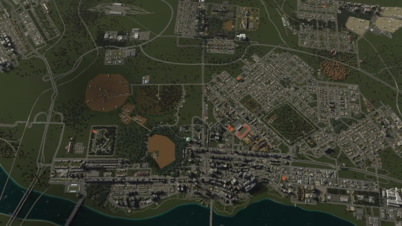
This is the best capture I could get of the area that I’ll urbanize next.
Downtown
The downtown area was not the first area I created (that was Pinewood Crossing), but it’s where I first started increasing the density of Milford County.
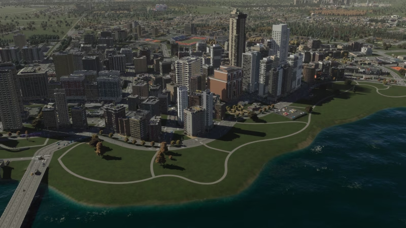
This is one of the areas of the city where I was most inspired by City Planner Plays. He makes a big deal about cities being walkable. And a downtown area with a riverwalk would definitely be valuable. I’ve lived in a few cities that had something like this. Also, I (and everyone else) was originally thinking that we’d be pretty deep in DLCs by now, including perhaps a Parks DLC that would allow this river area to be zoned as a park.
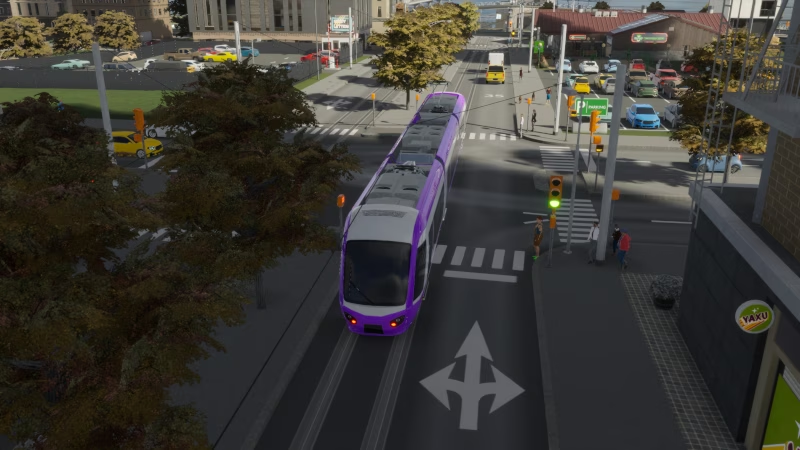
One of the areas where I’m still strugging is in understanding how to use the various types of mass transporation in the city. Many of them have quite a few overlaps, so I’m probably wasting more of my budget than I should on a transportation network that doesn’t necessarily make sense. Right now I have trams being within a town, buses both inter and intra-town, subways for inter-town, and trains both leaving the map and connecting some of the towns.
Pinewood Crossing
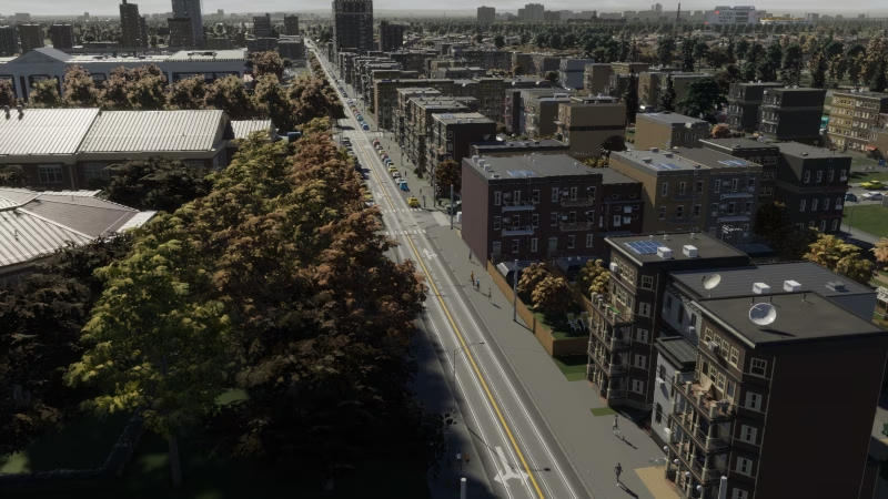
First of all, this is my favorite of all the screenshots I took. In future posts I’m going to try and have a photographer’s eye to the photos. (I was a little overwhelmed coming to this after a year rather than doing it little by little) Second, Pinewood Crossing was the first area that my city grew off of the highway that came with the starting area. To the left is one of my favorite bits of landscaping - an elementary school almost hidden in trees. Much of Pinewood Crossing was rezoned into medium density residential a while ago. It’s a nice, well-established part of town. It’s probably a neighborhood I’ll mostly leave alone as I come through and restructure parts of the city in light of things I’ve learned and new DLCs.
Park Crossing
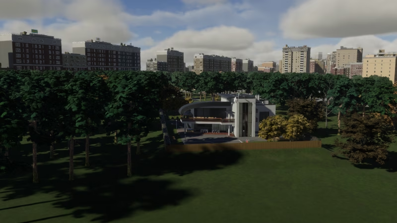
Park Crossing is a suburban extension of the Downtown area along the river. It mostly consists of medium density residential housing. The house above is the Film Actor Mansion. I envisioned this actor buying an extremely large parsal of land and blanketing it in trees to give himself a refuge from the city all around him.
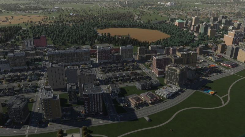
You can see I continued the walkable areas from downtown. And I did put some parks in this area. I may have to revisit this in light of all the new parks we got as a mea culpa for how long it was taking Collossal Order to get the asset packs to us a few months ago.
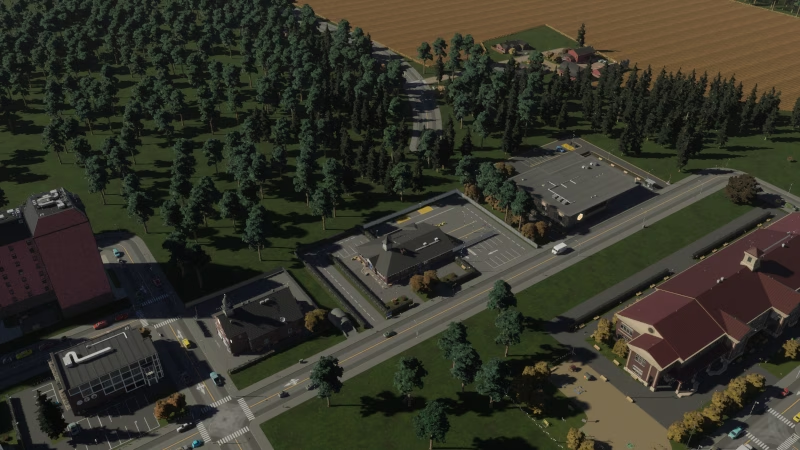
This image shows where the road for Emerson Gardens dead-ends just before connecting to Park Crossing. This happened naturally (I didn’t post-hoc create that story for why it was that way) and whenever (if ever?) the road is connected, it would result in an increase in traffic and the need to potentially increase the road’s carrying capacity since some folks might use it as a shortcut compared to their current routing.
Barlow Way
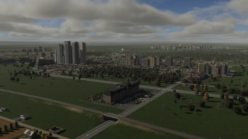
Barlow Way is a residential neighborhood that grew up across from the cargo station across the highway in Autumn Ridge. (If you click through and zoom in you can see the train station and some industrial zoning. The college in the foreground is very new (as are the farms at the bottom of the image). If I had to criticize one thing, it’s that the towers mid-image are WAY too big compared to the surrounding neighborhood. In the future I would take care to zone smaller pads to control heights.
Milford County University
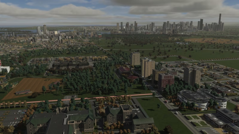
This is another area I cribbed from City Planner Plays. It is also a workaround for the fact that we don’t have Campus DLC like we do in Cities: Skylines 1. This is not the best image I could have taken of the campus. Essentially, borrowing from what CPP did, I used a few different buildings to represent different colleges in the university. The bottom has the actual university building. Up from that is the College of Agriculture (represented by a farm), teh school of teachign (represented by an elementary school), and you can just barely see on the left the hospital that is the teachign hospital. The buildings on the right represent dorm buildings, campus amenities, and further out is professor housing.
Anchor Bluff and Hillside Brook
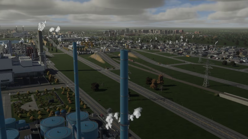
This is the major industrial area of Milford County. It’s essentially an extension of Evergreen Ridge (ironic name) and taking advantage of the wind flow. I added a second cargo train station here to try and stem industrial traffic on the roads.
Greater Bedford Gardens Area
Bedford Gardens
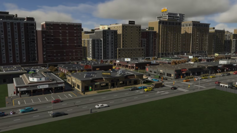
I added this neighborhood when I was looking for a new direction for expansion in the region. I thought it would be interesting to expand upward from the original highway entrance (and added another offramp)
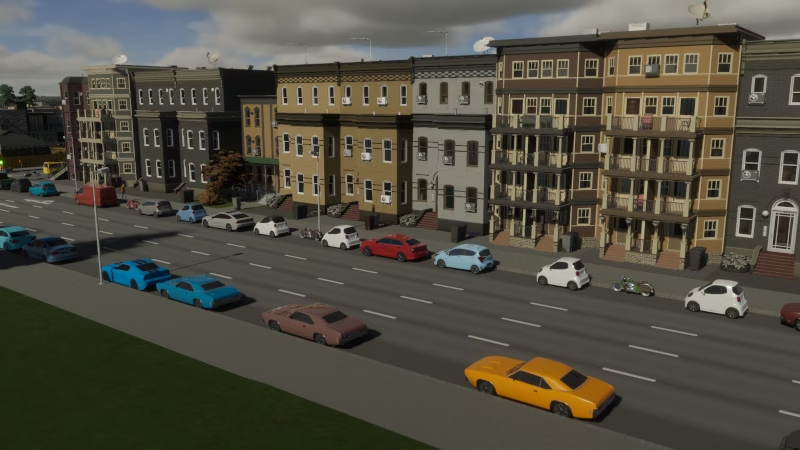
This is my second favorite shot of my city
Samuelville
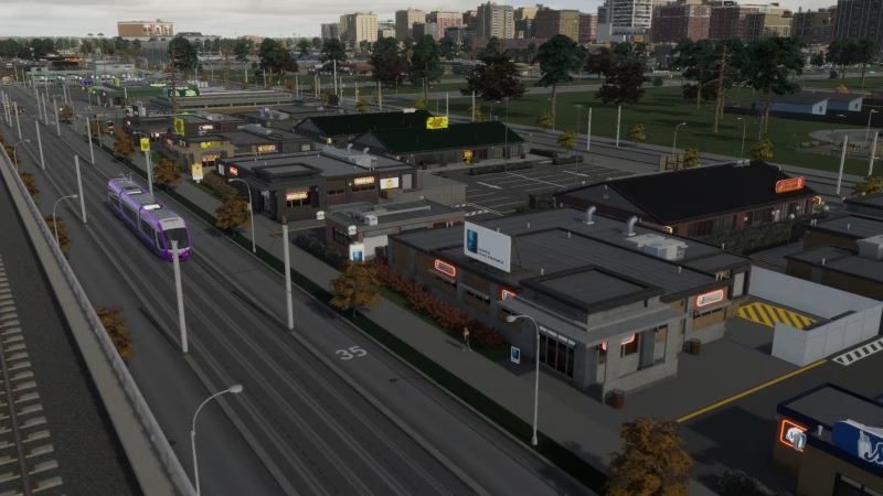
This was an expansion off of Bedford Gardens focused on mass transit access (subway and tram) to businesses in the area and residential throughout teh Greater Bedford Area
Scarlett Heights
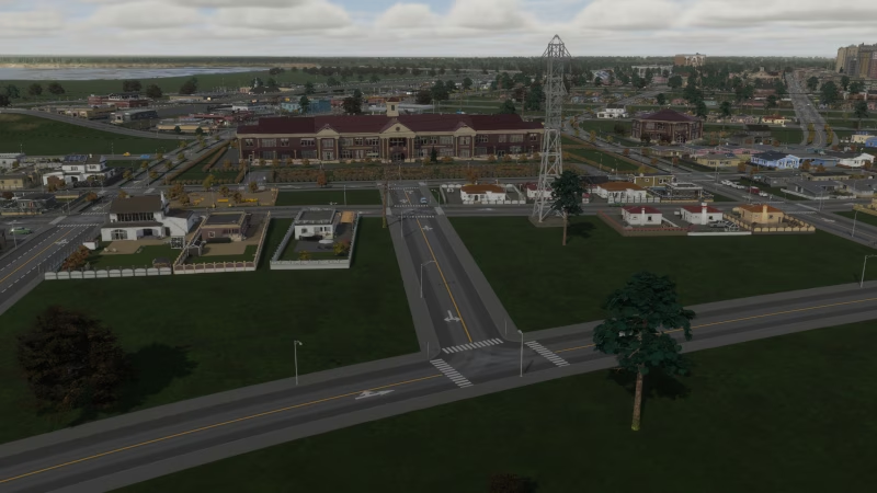
Scarlett Heights is the penultimate neighborhood added to the region. It has only recently started to see growth.
Highway Park
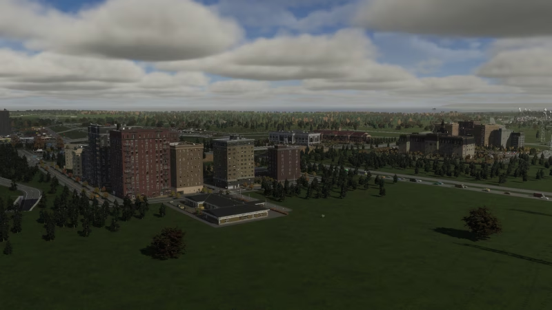
The idea for Highway Park came about to use up a bunch of land that was being eaten up by the highway and offramps. I think it actually works rather well, although I don’t know how realistic it is.
Across the River (Many neighborhoods)
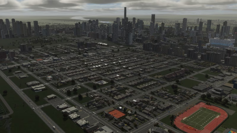
I will definitely do a better job documenting this area in a future blog post, but it cracks me up how accidentally dystopian this shot ended up being.
Little Paris
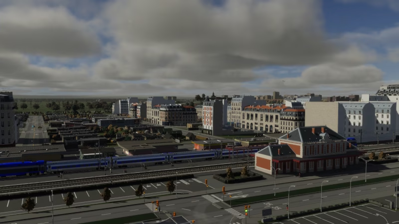
This is one of the newest areas of the region. Since I’ve working at this region for about a year with only the default styles and the waterfront pack, I wasn’t sure how I would naturally fit French architecture into the region. I also don’t currently have any medium density residential demand. So I built Little Paris to see how it looks. More or less, I’m going to have to be careful when planning French neighborhoods or sections in a city. Most of the models are meant to be surrounded by corner pieces because the sides (and soemtimes backs) look very blank. It really is the only letdown of such a beautiful asset pack.